Add Census demographic data, income stats, and more to addresses
Easily and quickly convert addresses or coordinates to Census data including FIPS codes, MSAs, demographics, income, housing, veteran status, education, and more

“Geocodio has allowed us to make marriages between data and discover new things. It's simple, fast, and reliable at scale. It's the Rosetta Stone of geographic data.”

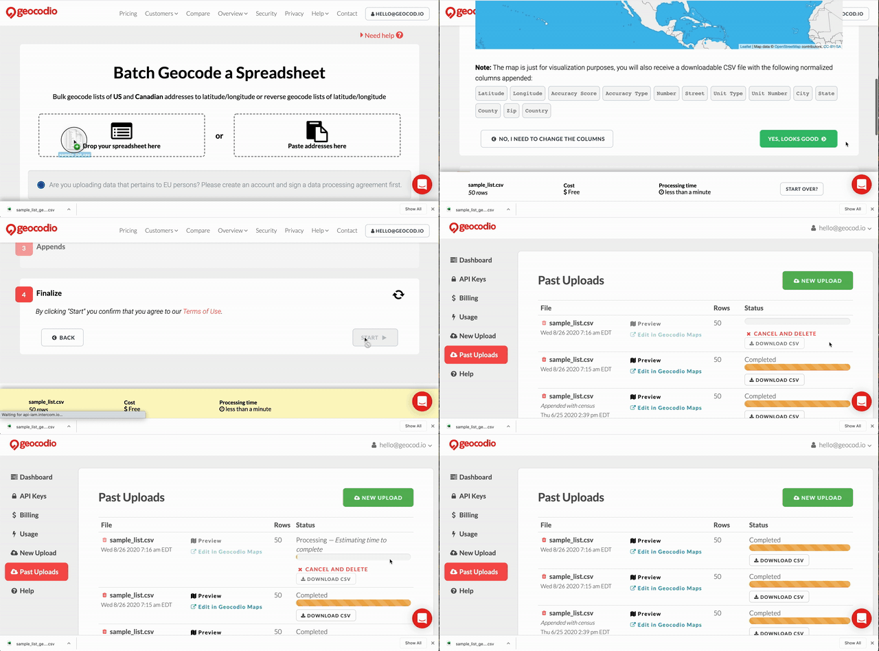
Geocodio makes it easy to add key Census American Community Survey (ACS) data points to a list of addresses or coordinates. With the check of a box, you can turn an address into Census data on demographics, household income, education status, housing, veteran status, and more. Upload a spreadsheet of addresses or coordinates to add Census data, or use our API.
Whenever you upload addresses or coordinates to Geocodio to add Census American Community Survey data appends, we'll also add Census geographies such as Census blocks, Census tracts, FIPS codes, and Metropolitan and Micropolitan Statistical Areas. You can append this data back to 2010. County, Place, Tract and Block FIPS codes are available from the 2000 Census. (ACS data is only available for the most recent ACS year.)
You can also add Canadian Census tracts, divisions, economic regions and more using our StatCan append.
Add Census data to an address now. No signup required.
American Community Survey Data
Demographics
Total population, population by age range, sex, race and ethnicity
Household Income
Median household income and household income by bracket
Families
Family households, household type by population, and marital status
Housing
Occupancy status, ownership of occupied units, units in structure, median value of owner-occupied housing, and value of owner-occupied units
Education & Veteran Status
Population by minimum level of education, veteran status, period of military service for veterans
Census Geographies
FIPS codes, block and tract codes, MSAs, CSAs, and Metropolitan divisions

“I've been working with geographic data for the last 10 years or so, and this is the best geocoding product I've ever used. It's extraordinarily simple and modern, and the Census data was a huge plus.”